Little Garlic River and Falls – Marquette Area
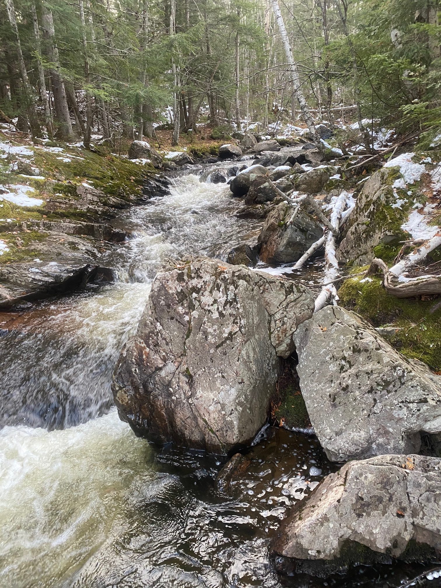
The Little Garlic River is a fantastic hike that takes you along the banks of a spectacular river under the canopy of beautiful pine forest. The route along the river follows the North Country National Scenic Trail west and meanders both along the river and ascends to several higher outcroppings giving views of sandstone bedrock and the river valley. At the turnaround point, hikers are rewarded with a small but picturesque cascading falls with high stone walls along the north side of the river’s edge.
Trail Length:
8 miles out and back (4-5 hours)
Difficulty:
Moderate
The trail in spots is rocky, rooty or uneven. There are several very minor climbs and descents along the river but it is mostly flat. The trail is easy to navigate by following the blue NCT markers.
.
Trail Head Directions:
It is about a 20 minutes drive to the Elliot Donnelley trailhead from Marquette center. Drive 10 miles west on Big Bay Road (550) out of Marquette. You will pass over the Little Garlic River on a bridge and the trailhead will almost immediately be on your left where there is a moderately sized parking area.
.
Trail Description:
Start from the trailhead (P) and follow the North Country Trail (blue blazes) west along the north bank of the Little Garlic River for 2.75 miles until you cross a logging road (1). Cross the road and continue on the signed trail for 1.25 miles until you reach the falls (2). Turn around and retrace your steps back to the trailhead.
.
Printable Map and Guide:
Little Garlic River Map and Guide
Little Garlic River GPS File (GPX)
.
Additional Resources:
North Country Trail Association
.
Pictures:
- Little Garlic River Cascades
- Little Garlic Falls
*Hiawatha Hiking Company provides these maps and resources for free using open source software. Those utilizing these hiking resources do so at their own risk. Any damages due to the use of these resources is not the liability of Hiawatha Hiking Company, LLC


